Google Chooses South Florida Waterways To Launch New Technology
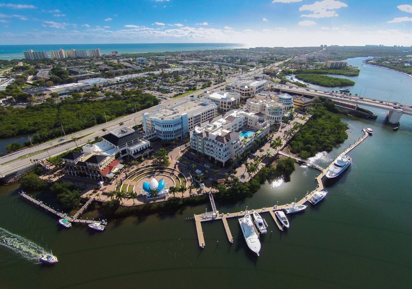
Pictured: Bird's eye view of the HMY Yachts Miami Beach location, accessible by the intracoastal waterway.
It’s no secret that Google is on the cutting edge of the technological arena, and while they’ve conquered the streets of the world with Google Maps and Google Street View, it’s time they prospect a new frontier- “Waterway View”. From Jupiter Sound to Ocean Reef, Google will be creating a detailed visual map covering 143 nautical miles of Intracoastal Waterway in South Florida.
HMY Yacht Sales Professional Alexie Creary, born and raised on boats in the Florida Keys, says it best, “I feel Waterway View will be monumental to the boating community allowing boaters to capitalize on the resources and amenities our South Florida community has to offer. As a fellow boater, I am excited to share this innovative development with my clients and hear the positive feedback. This new technology will increase familiarity through visual recognition and connect boaters with local businesses producing more revenue for the marine industry. For a community that spends a majority of our time on the water there is no better place that will showcase this technology.”
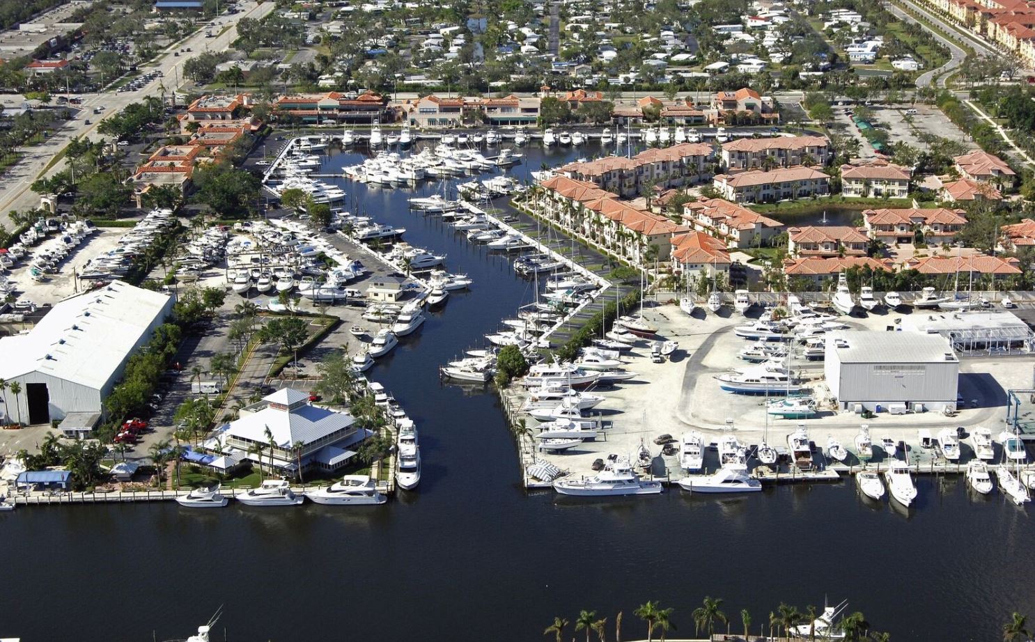
Pictured: Bird's eye view of the HMY Yachts Harborside location in Jupiter Florida, accessible from the intracoastal waterway.
Google has partnered with the Marine Industries Association of South Florida (MIASF) to complete this task, the same organization who owns the Fort Lauderdale International Boat Show. MIASF is the largest marine trade organization in the Southeast United States dedicated to promoting, protecting, and growing the 136,000 jobs regionally in marine businesses promoting boating lifestyles, from family cruising and fishing to yachts, and the goods and services that sustain them, driving the economic output to $11.5 billion regionally.
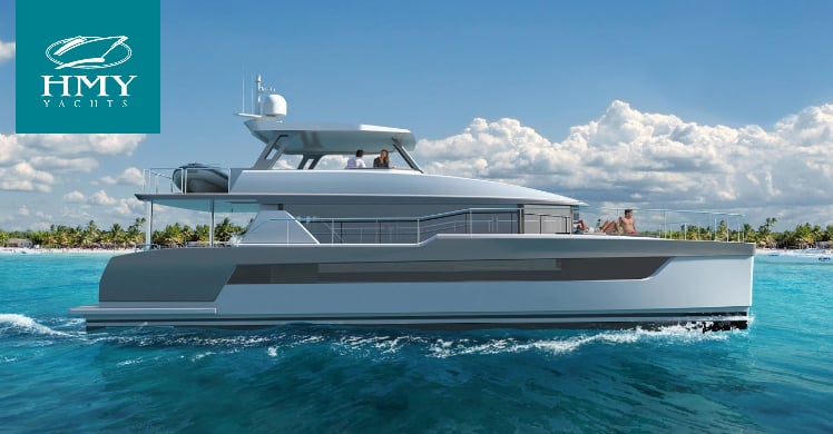
Pictured: Bird's eye view of the HMY Yachts Soverel Harbour location in Palm Beach Gardens Florida, accessible by the intracoastal waterway.
Phil Purcell, CEO and President of the MIASF, explains why our local waterways were deemed as the ideal place to begin this groundbreaking endeavor. "This is an incredible opportunity to add another tool to the toolkit of the marine industry in South Florida, which employs 136,000 people and produces an annual economic impact of $11.5 billion,” says Phil “Just as Google Street View is a valuable instrument and a trusted way for businesses to connect with customers, Waterway View has the potential to be the most exciting new resource for the boating lifestyle, connecting boaters with restaurants, marinas, fuel docks, service and sales centers, and all the other resources they may need.”
Mapping is underway, and is expected to be completed upon summer 2018 in Key Largo. The free mobile app will be available from Google Play, Apple App Store, and the MIASF website in June 2018, but a web browser version should be available sooner. Businesses will be able to use it as a marketing tool to promote traffic directly to their dock by placing a request through an online form on the MIASF website, here.
References: Fort Lauderdale Daily, Marine Industries Association of South Florida, South Florida Business Journal


